
Trail Elevation Summary
| Day | Route | Distance | Duration | Highest Point | Lowest Point | Elevation Gain | Elevation Loss | Difficulty |
|---|---|---|---|---|---|---|---|---|
| Day 1 | Malekgalonyane → Makgulong | 12 km | 3-4 hrs | 1665 m | 1465 m | +357 m | -317 m | 5.9/10 |
| Day 2 | Makgulong → Maboloka | 20 km | 6-8 hrs | 1790 m | 1393 m | +683 m | -603 m | 9.3/10 |
| Day 3 | Maboloka → Madlangala | 17 km | 5-6 hrs | 1751 m | 1517 m | +434 m | -447 m | 7.1/10 |
| Day 4 | Madlangala → Qachas Nek | 13 km | 4-5 hrs | 1931 m | 1690 m | +493 m | -211 m | 6.3/10 |
-
Day 1
Malekgalonyane to Makgulong
Moderate
12 km 3-4 hours +357 m -317 m Rating: 5.9/10Environment: Predominantly rural (64.3%), with some natural (21.4%) elements. Regular contact with locals, passes through rural farming/cultural landscape.
-
Day 2
Makgulong to Maboloka
Difficult
20 km 6-8 hours +683 m -603 m Rating: 9.3/10Environment: Predominantly natural (57.1%), with some pristine (35.7%) elements. No urban areas. Mostly natural sounds with only intermittent foreign noise.
-
Day 3
Maboloka to Madlangala
Moderate+
17 km 5-6 hours +434 m -447 m Rating: 7.1/10Environment: Predominantly rural (64.3%), with natural (35.7%) elements. No urban areas. Possible contact with local inhabitants while on route.
-
Day 4
Madlangala to Qachas Nek
Moderate
13 km 4-5 hours +493 m -211 m Rating: 6.3/10Environment: Predominantly natural (64.3%), with pristine (35.7%) elements. No urban areas. Mostly natural sounds, very little evidence of human presence.
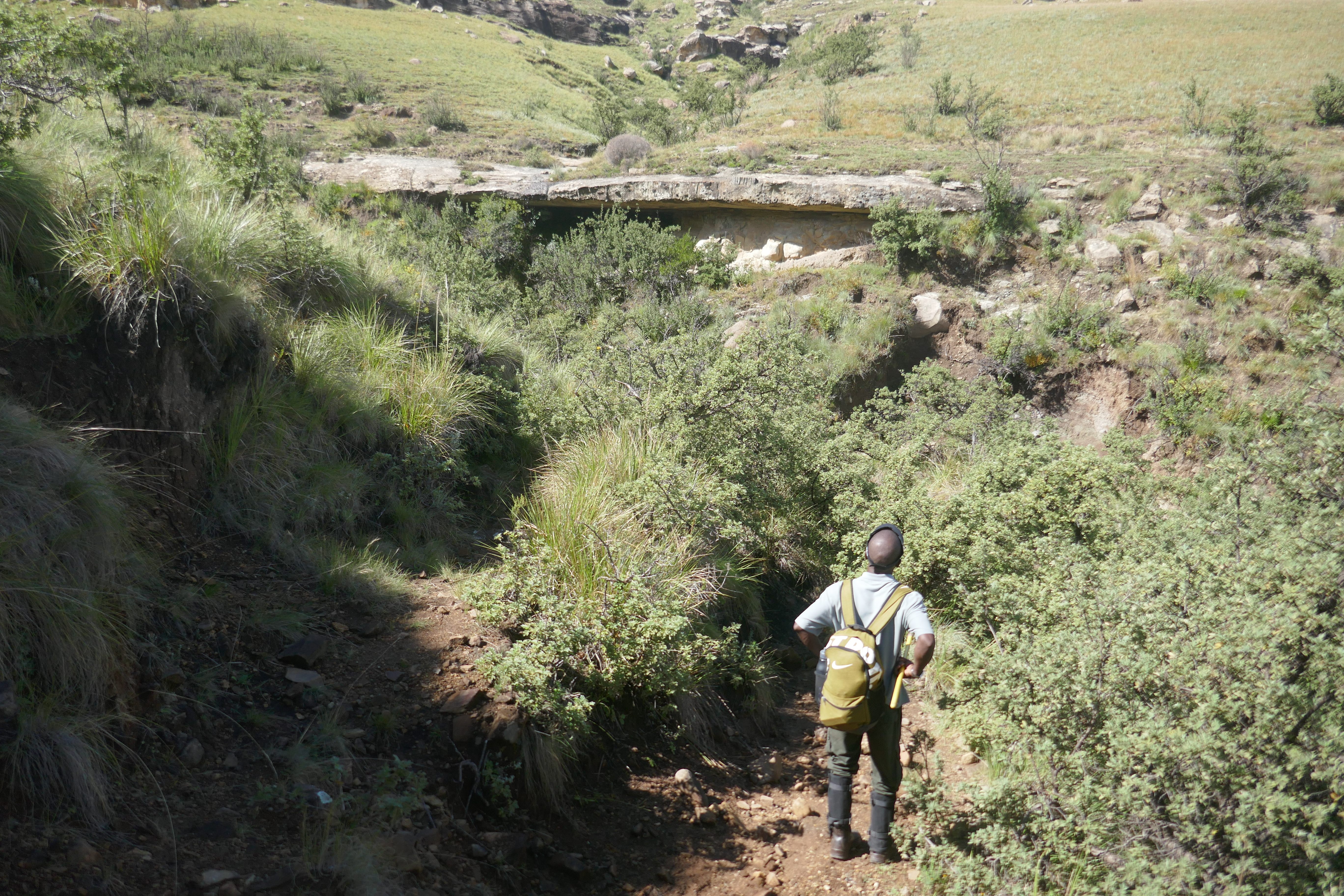
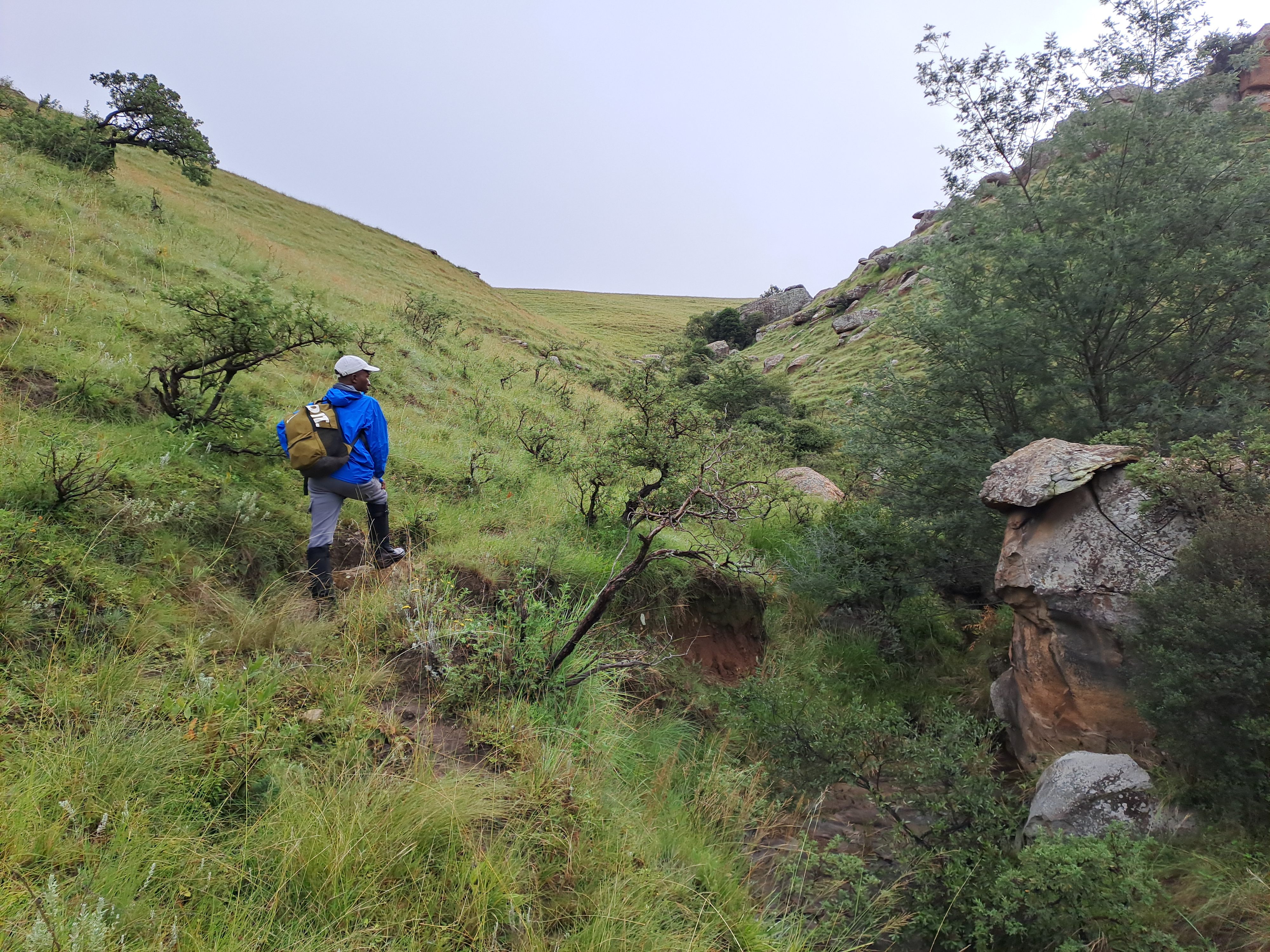
- Hiking: Uneven terrain requiring balance, good footwear essential
- Mountain Hiking: Hands may be needed for climbing/descending, steeper sections
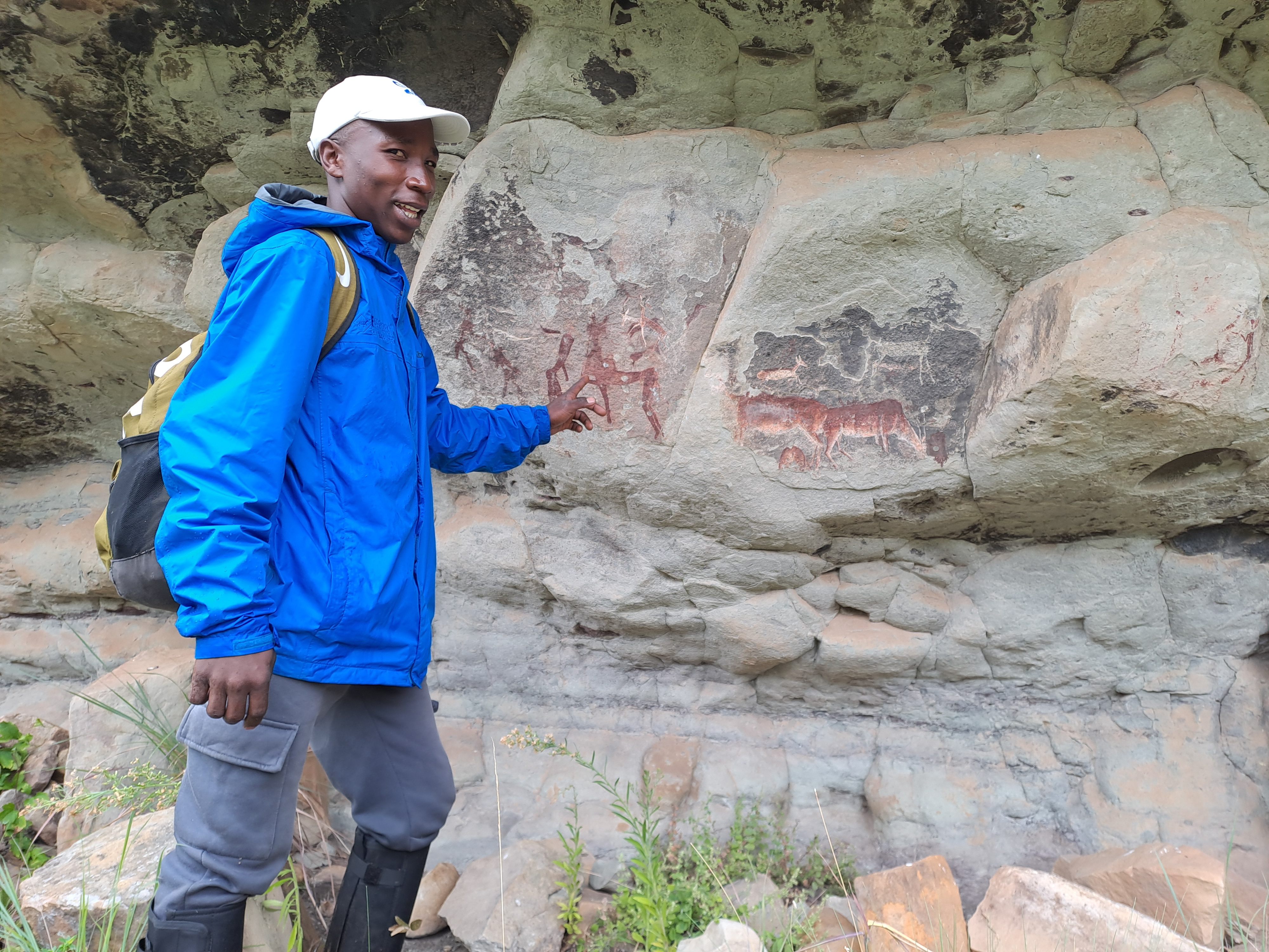
- San rock art sites throughout the trail
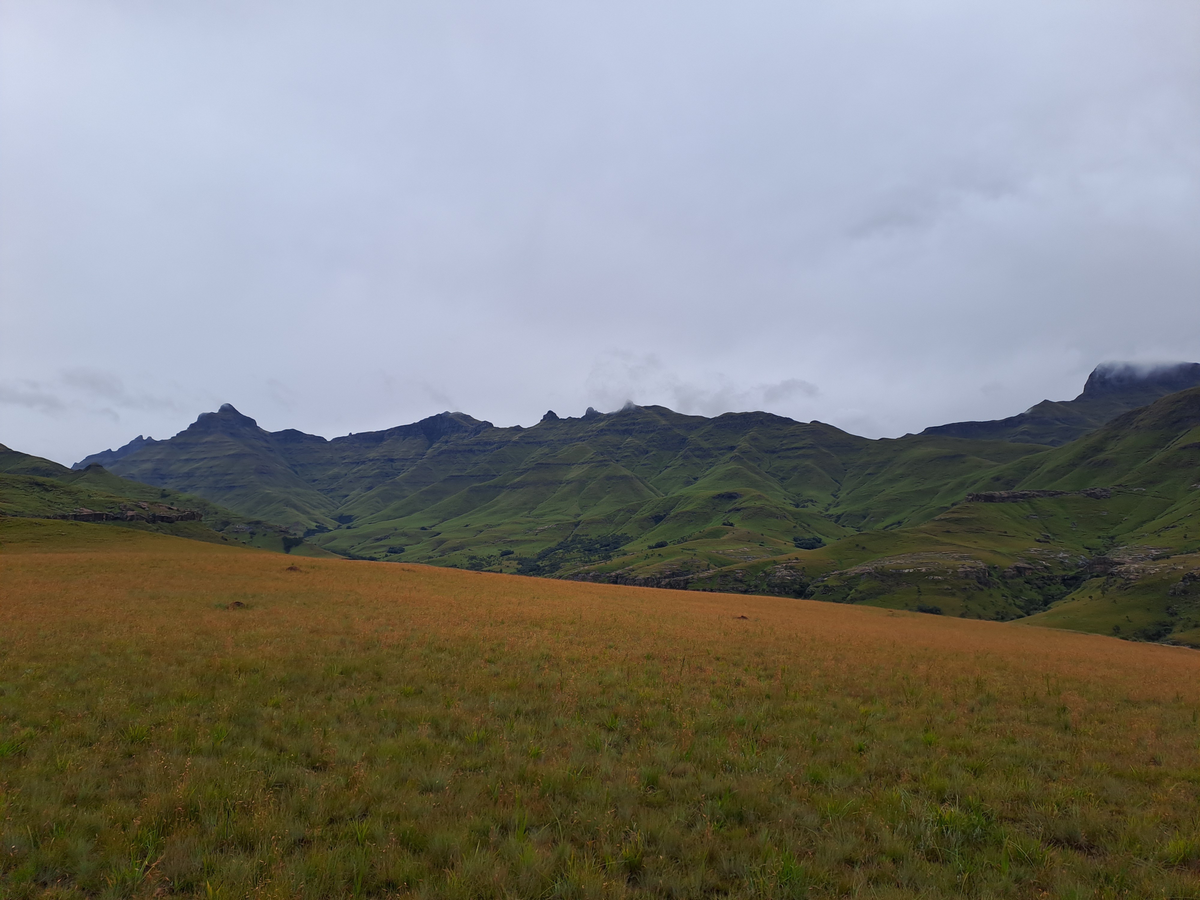
- Views of the Three Sisters Peaks
- Protea woodland and indigenous forests
- River crossings with sturdy bridges
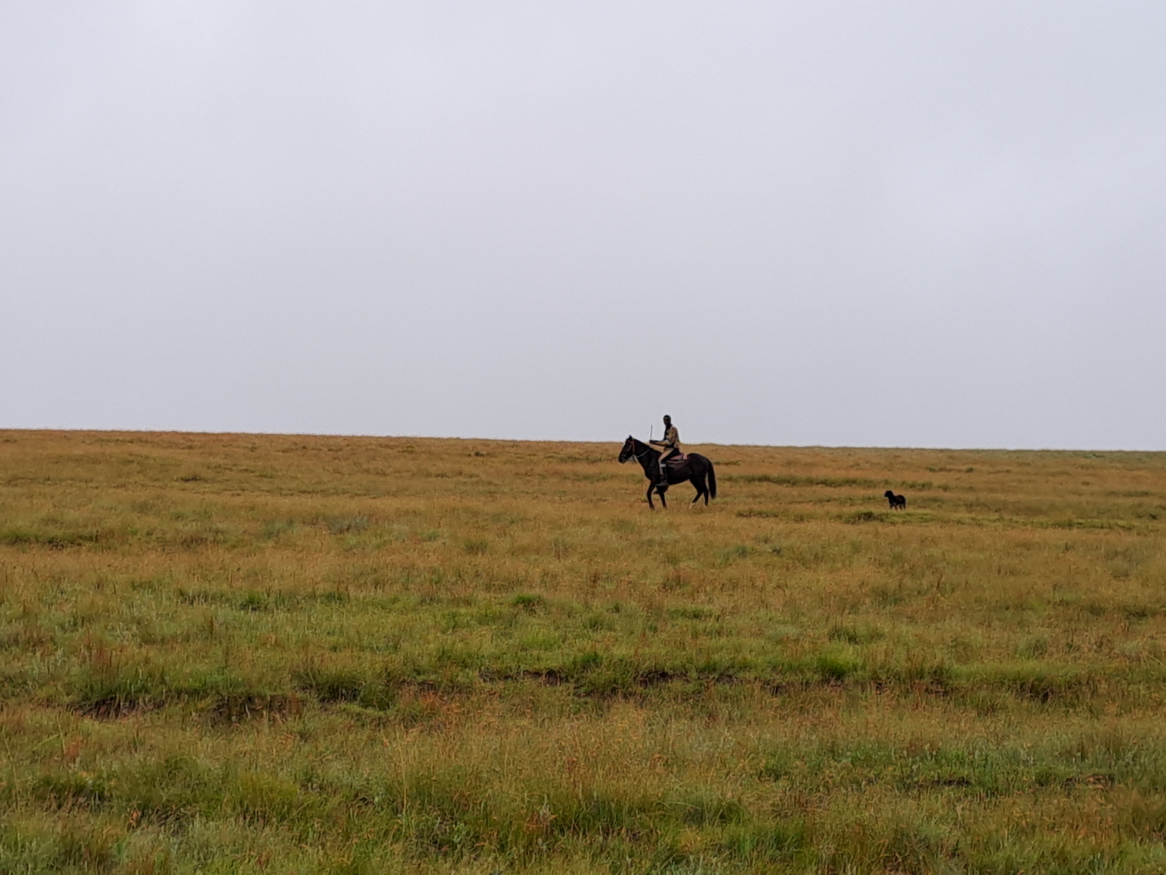
- Interactions with local herders and communities
- Sandstone rock formations
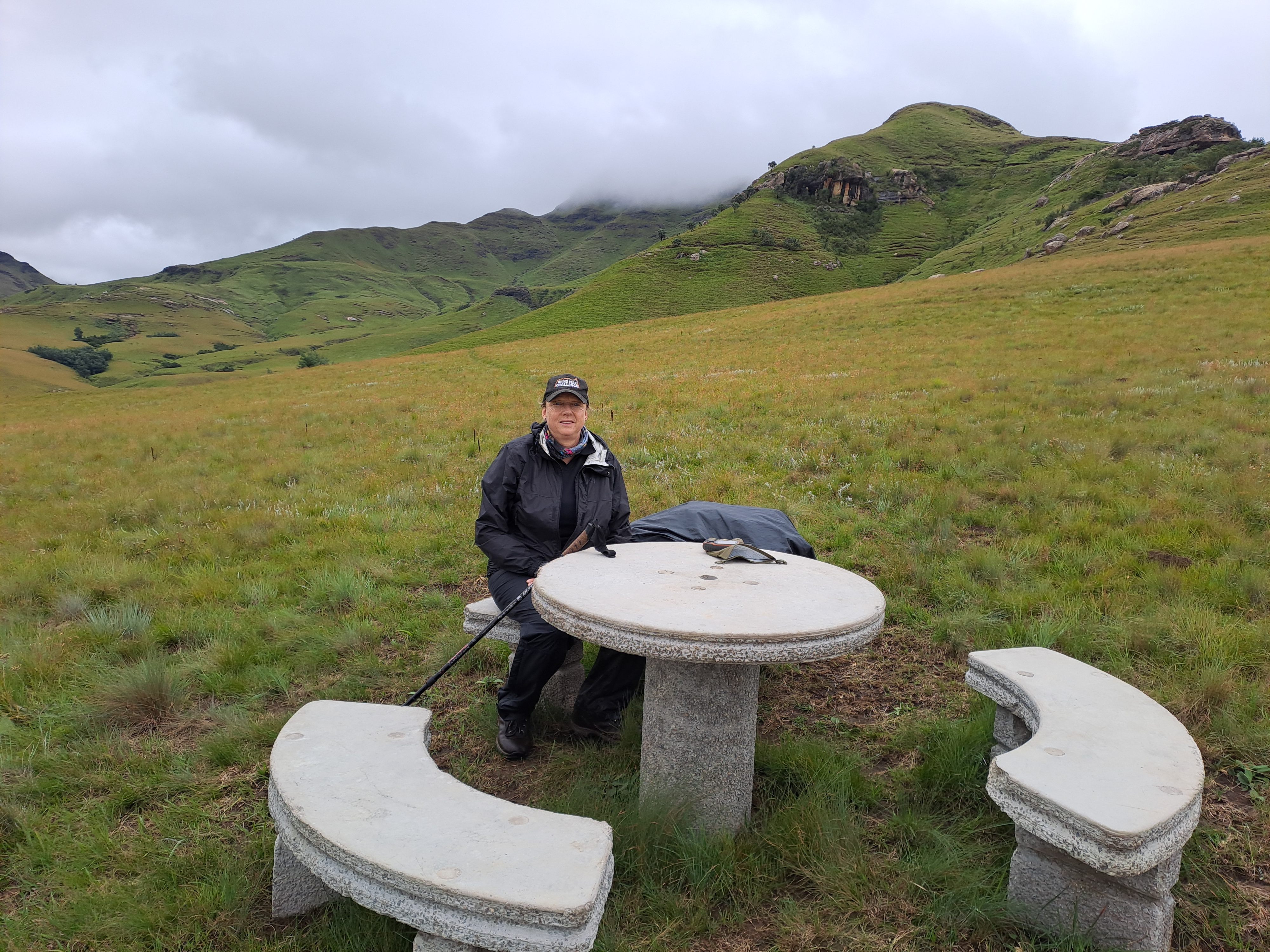
- Picnic tables at strategic rest points